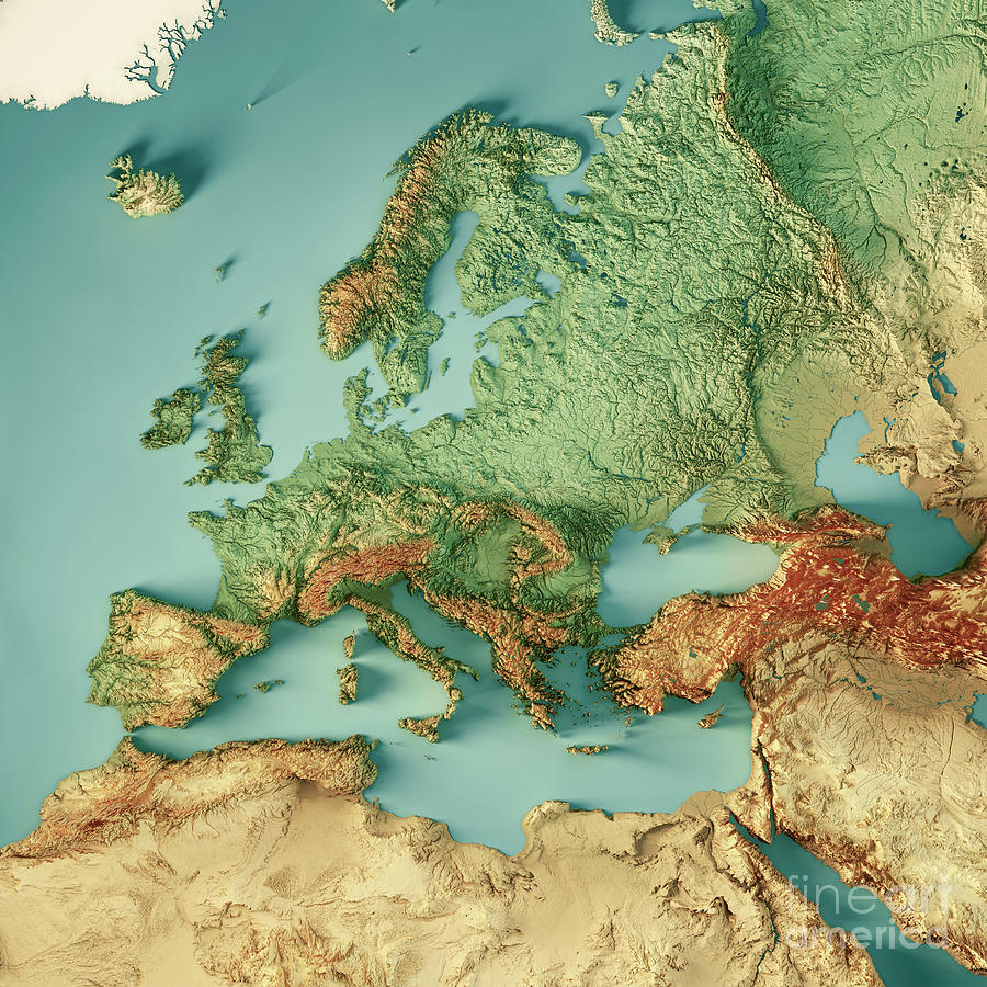
Look at Egypt…
I mean it is literally a desert (and the nile basin doesn’t appear in the map).
The delta does though
Oh yeah it does you’re right.
It’s quite good, culturally speaking (at least for the regions I know), well done.
New custom map for Crusader Kings just dropped?
Neat, that’s a great way to show how dense some of these cities are. And damn, Egypt!
Why all the colors? You could have used only three different colors without any two colors touching…
It’s four, I think. Here’s my stab at explaining this: in order to color it with only three colors any places with more than 2 neighbors who form a connected circle around the main region must have an even number of neighbors. There are a some places with odd numbers, ex: essen, rur ; london, london; dikirnis, misr as-suflaha all have 5 neighbors surrounding them. Because the neighbors also border each other they have to alternate colors around the main region. With an even number of neighbors they alternate fine; but with an odd number you’d end up with the first and last colored region being next to each other and matching - so you need 4 colors.
Yepp, it’s called 4 colour theorem
Bielefeld 👍🏻
I throughly reject this attempt at erasing Warmia by bundling it with heathen Masuria!
From my expirience there should be around a million tourists marked in each of them.
Bauland? Ist das real?
Badisch Sibirien
Dann ist ja Alaska soweit
Holy Roman Empire 2, yuroboogaloo.
I see no reason we shouldn’t do this.
Do the colours mean anything or just for effect?
I thought it was by country but then france makes no sense.
Colours don’t mean anything


