
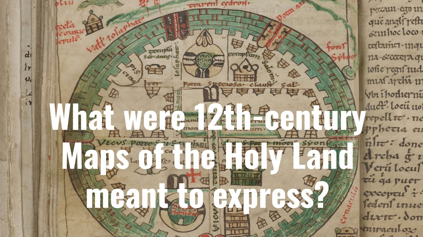
Maps of the Holy Land were first produced in the Latin West only at the beginning of the twelfth century. It is generally accepted that the establishment of the Latin Kingdom of Jerusalem (in 1099) led to the creation of these maps and that the purpose was to represent Jerusalem and the biblical land in its renewed Christian appearance, with an emphasis on the Crusader achievement.
You must log in or register to comment.