
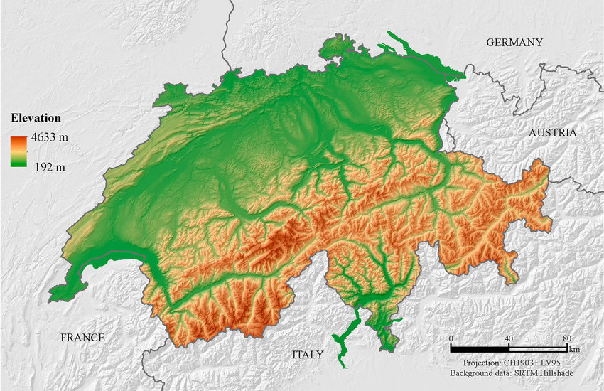
For example on wikipedia for Switzerland it says the country has an area of 41,285 km². Does this take into account that a lot of that area is actually angled at a steep inclination, thus the actual surface area is in effect larger than what you would expect when looking onto a map in satellite view?
There‘s a great video on that topic by Matt Parker (Standupmaths) which I‘d wholeheartedly recommend.
TLDW: No, terrain elevation isn‘t generally taken into account when calculating a country‘s surface area, though the actual method differs slightly from country to country. Switzerland would be around 7% bigger, if its mountains were to be taken into account.